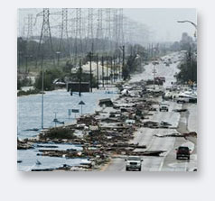
Flood risk mapping depends on accurate information. Typically, areas subject to flooding are flat and changes in water level can mean major alterations in the amount of area flooded. A one-foot increase in water level in some areas can flood thousands of acres.
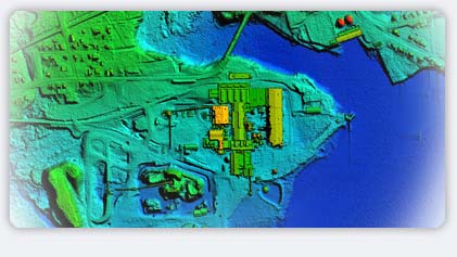
LiDAR technology typically provides more data than can be collected using any other technology. Lasermap has completed hundreds of square miles of flood risk mapping with data accurate to 6 inches (15cms). One such project covered a large area of the Red River basin south of Winnipeg, where flooding has been a constant threat. Using Lasermap's data, scientists are currently modeling flood remediation efforts to prevent future inundation of dwellings and farm buildings.
|