RÉALISATIONS
Nos références, c'est notre expertise et la satisfaction de nos clients
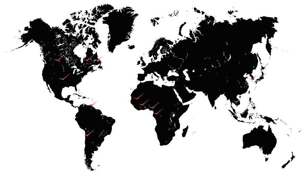
PHB a réalisé, au cours des années, une multitude de projets aéroporté sur 4 continents
Les réalisations PHB
- Canada
- Asie
- Afrique
- Amérique du sud
- USA
CANADA
QUÉBEC, CANADA
Études de positionnement d'un gazoducHYDRO-QUÉBEC, QUÉBEC, CANADA
Travaux de maintenance et planification de nouveaux tracés de lignes électriques à haute tensionLABRADOR CITY, CANADA
Tracés de chemin de ferQUÉBEC, CANADA
Études d'un nouveau complexe hydro-électrique, réservoirs, ouvrages et profils de rivièresCANADA
Études des zones à risque d'inondation en cas de bris de barrage de réservoirs hydrauliquesQUÉBEC, CANADA
Analyses des zones à risque d'inondation bordant 165 rivièresQUÉBEC, CANADA
Études de l'érosion des berges du fleuve St-LaurentQUÉBEC, CANADA
Études environnementales en milieu aquatiqueQUÉBEC, CANADA
Études sur les modèles d'inventaire agricolesQUÉBEC, CANADA
Études forestièresASIE
KUALA LUMPUR, MALAISIE
Mise en place d'un SIGBANGKOK, THAÏLANDE
Formation spécialisée sur l'utilisation des données du LidarBRUNEI, ASIE
Levés Lidar et photoSUMATRA, INDONÉSIE
Plan d'aménagement et suivi de l'exploitation de minesKUALA LUMPUR, MALAISIE
Analyse des phénomènes d'éboulement et glissement de terrain